Matt and I took a great vacation to Vermont last week. This was a trip I've wanted to do ever since I was a kid. Finally, we made it happen!!

Airport selfie! Bright eyed and bushy-tailed, anxiously waiting to board. Our flight left at 7:05 am, and we had been up since 4:00 am.

We crossed this cool looking bridge in Boston, on our way out of the city and to Vermont.
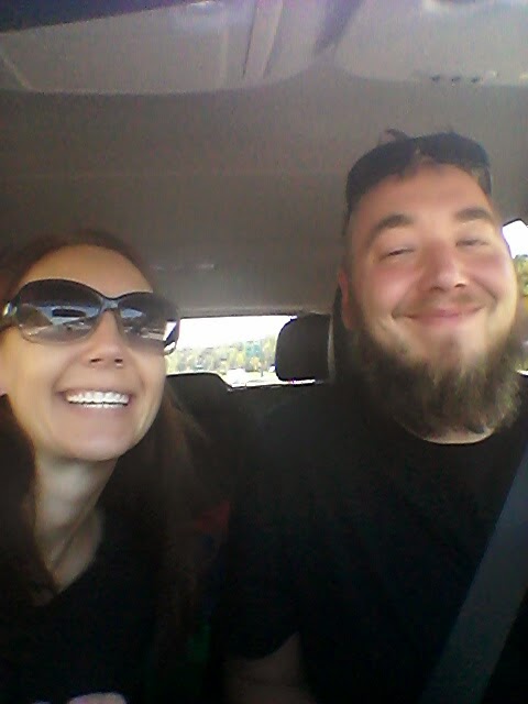
Car selfie!! Enjoying the drive to Vermont.

Almost there! We had about a 3 hour drive from Boston to our campsite in southern Vermont.
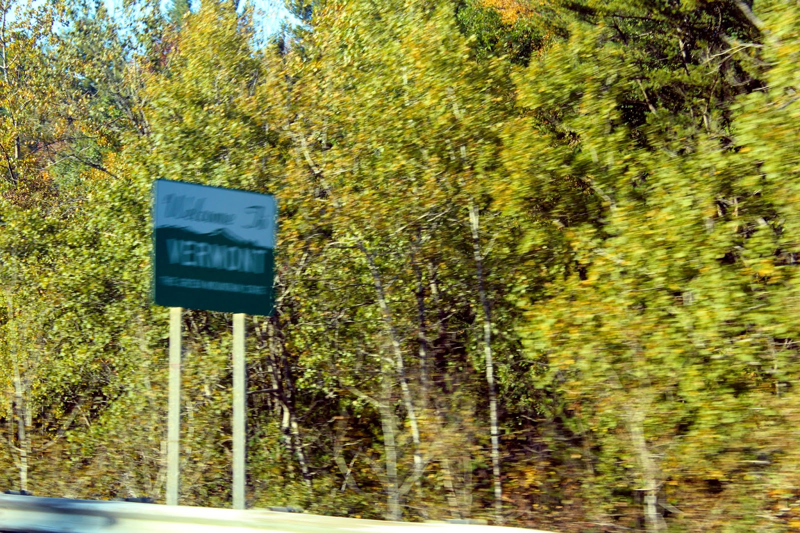
I just about missed the sign...

Views along the highway in Vermont. So much color!!

We were being the "typical" leaf-peepers... pulling over off the road several times to capture breathtaking scenes like this one!

We hit peak color season... can you imagine living here?

Entering Coolidge State Park.

Our campsite at Coolidge (site 18).

Matt unpacking

Flying into Boston versus driving out East, we had to pack minimally when it came to camping gear. We still managed to pull it off!

Heading into the nearby town of Woodstock to check out the scenes.

A little river under the bridge. There were so many photo ops like this all over Vermont.


Our first covered bridge siting! Lincoln Bridge. There are over 100 covered bridges in Vermont alone!

On our first full day in Vermont, we headed to the town of Quechee. Here we visited "Vermont's Little Grand Canyon", the Quechee Gorge. The gorge spans for one mile; roughly 13,000 years ago the Laurentide Ice Sheet retreated across this area.

It was a little foggy the morning we stopped here.

View from the opposite side of the bridge.


We took a short hike to the bottom of the gorge which runs along the Ottauquechee River.

Matthew taking in the view.

View of the Ottauquechee River and the bridge in which we stood on earlier. We also noticed a hot air balloon drifting across the sky.


The base of Quechee.


The day was very calm and I was able to capture some nice reflections of the foliage.

By the time we hiked back up to the bridge, the fog had lifted, so I took a few more shots of the gorge from the top again. This time you can see the mountains in the distance.

Matthew taking in the scenery.

A little south of Quechee, we headed to the town of Windsor, near the New Hampshire/Vermont border. There, we drove across the longest covered bridge (449 feet) in the USA, the Cornish-Winsor bridge. New Hampshire owns most of the bridge; up to the western high water mark of the river.

Above the entrance the sign still reads "Walk your horses or pay two dollars fine".

A couple from the area was nice enough to offer to take a photo of us together.


Mt. Ascutney in the background.

The bridge crosses the Connecticut River.

Mt. Ascutney

A nice reflection of the bridge in the river.

Back into Windsor; the Old South Church.

We stopped back into Quechee again on our way back to our campsite; we noticed on the road map that there was a covered bridge in town that we had missed before. This is the Quechee bridge.


Simon Pearce restaurant on the right in front of the Ottaquechee River.


A beautiful Catholic Church in Quechee.

Just west of Quechee lies another covered bridge in the town of Taftsville, Vermont. This is the Taftsville covered bridge.


Matt was amused by the name of this bridge; "Taft" is the name of the Mpls location branch of bus company that he works for.

Some info about the bridge. The bridge had to be restored in 2011 due to hurricane Irene.

No comments:
Post a Comment